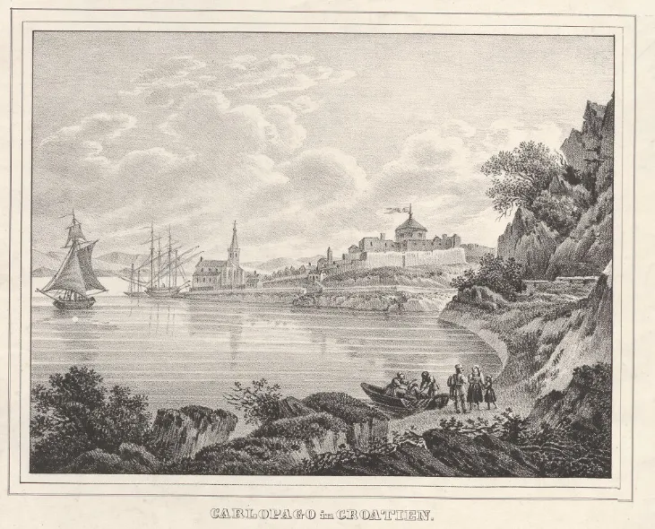
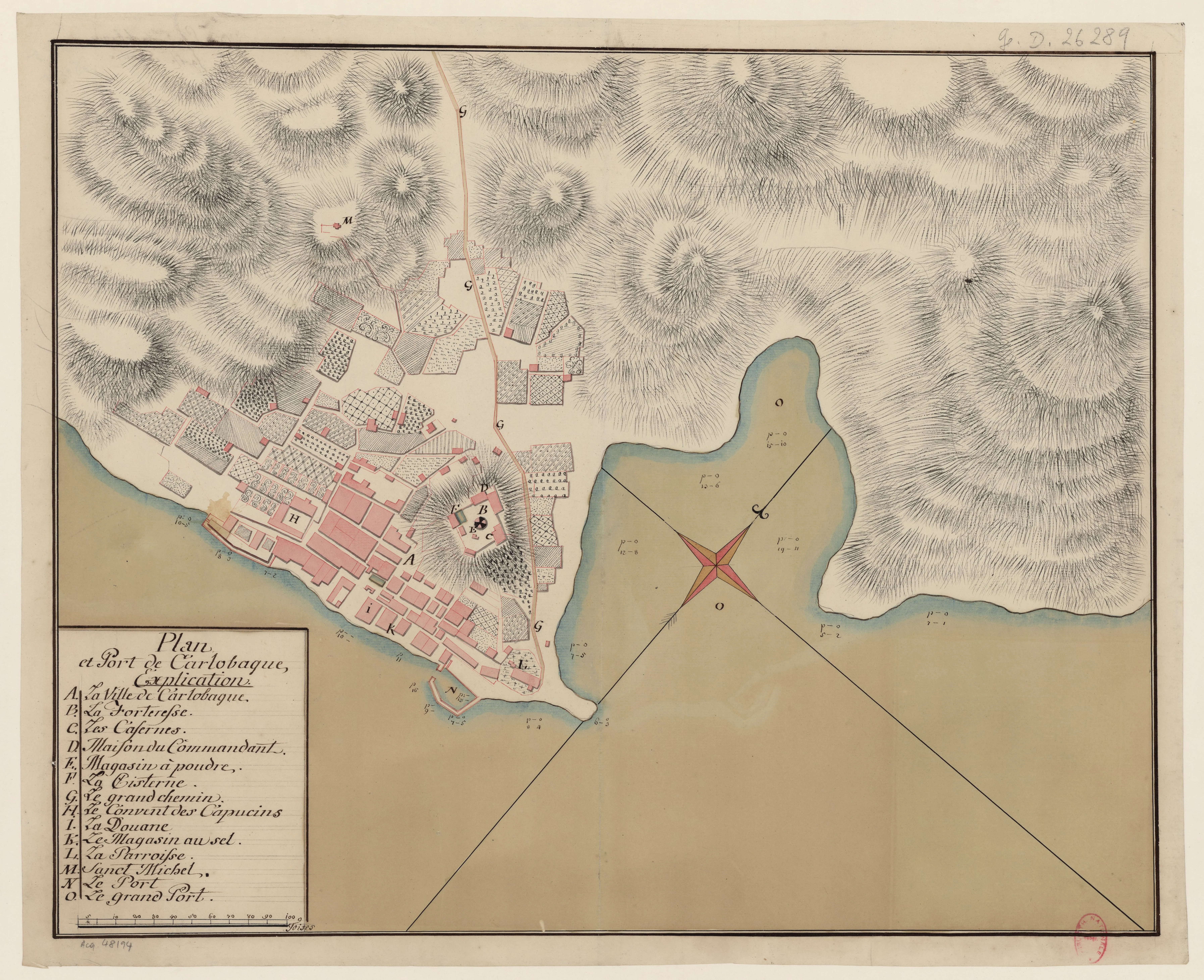
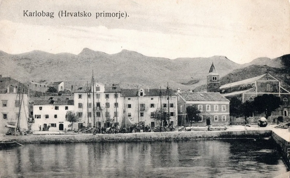
"Carlopago in Croatien" – View of the fortified town of Bag in the 19th century.
Image sourced from the collections of the Austrian National Library (ÖNB) in Vienna.
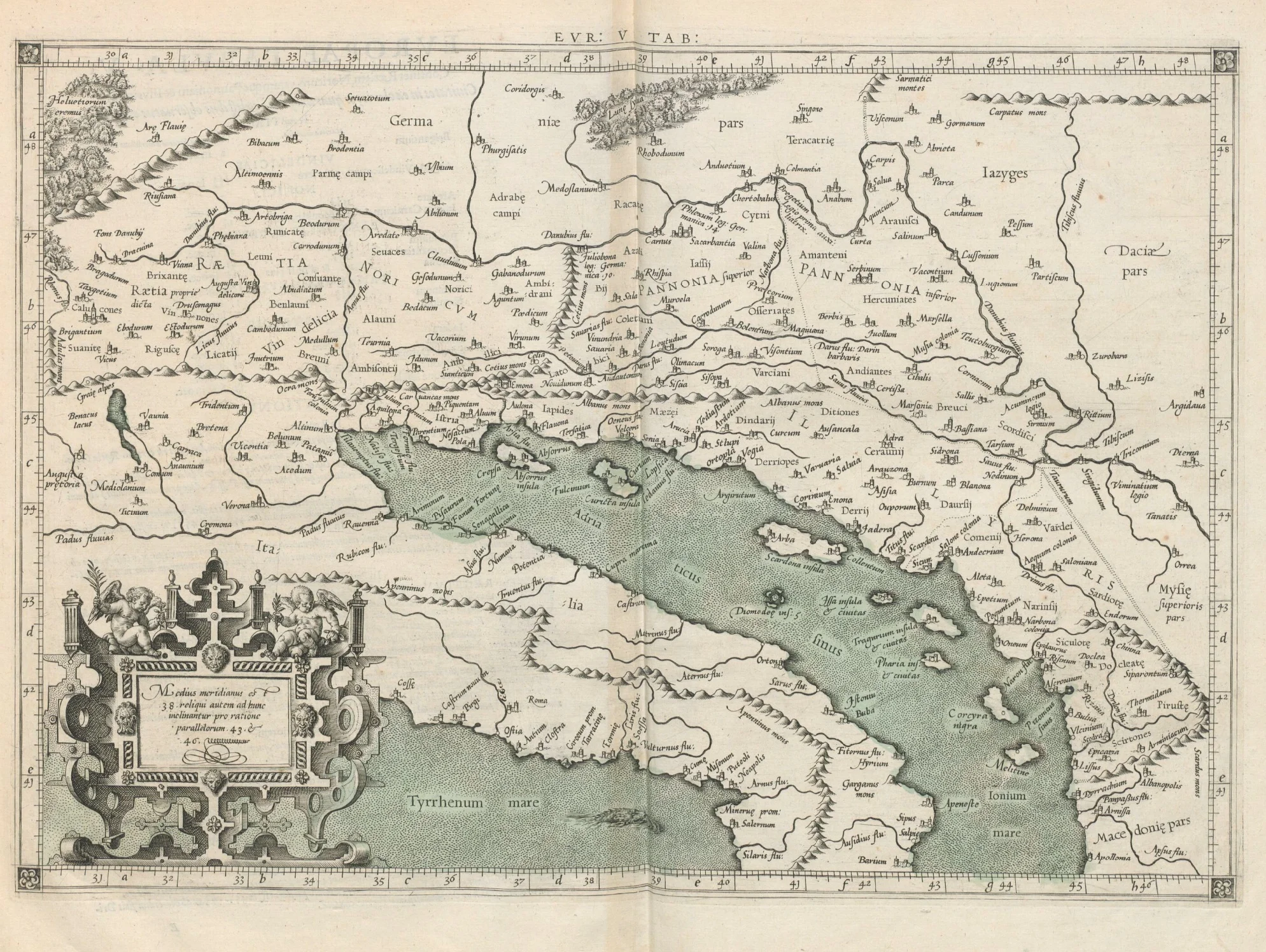
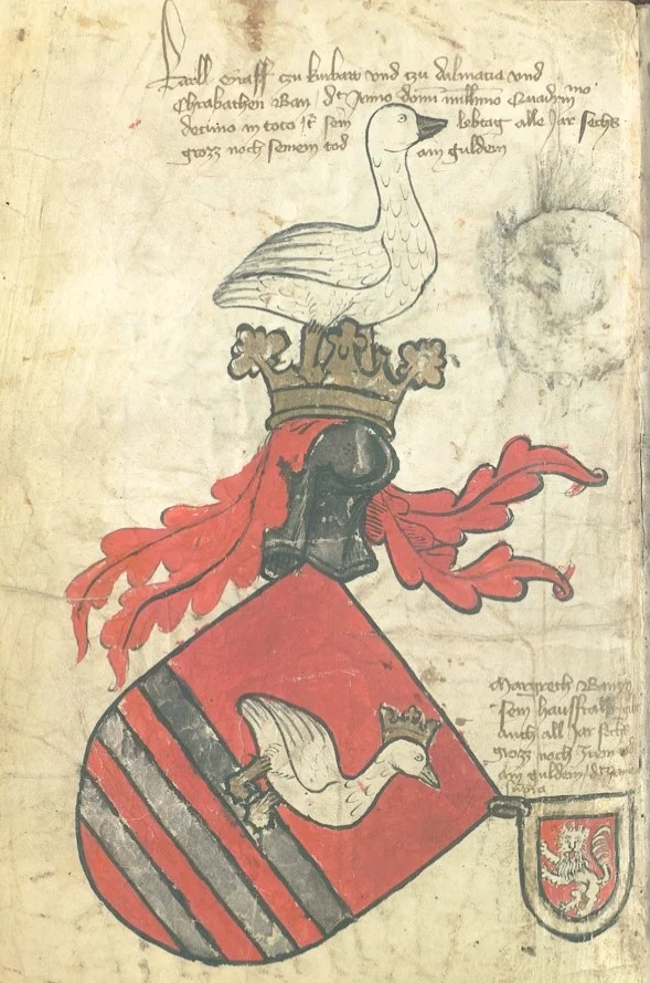
Karlobag owes its name to Archduke Charles II of Styria, yet over the centuries, European cartographers literally "moved" the town, altered its identity, and mistranslated its name across almost every language. From ancient Vegia to Habsburg Carlopago, the history of this town at the foot of Mount Velebit remains recorded in the chronicles of glorious victories—but also in the incredible blunders of old maps.
Nestled at the crossroads of the rugged Velebit mountain and the crystal-clear Adriatic Sea, Karlobag is a town with one of the most fascinating historical identities on our coast. While recognized today as a peaceful tourist destination, its past reveals a destiny that was constantly transformed under the influence of major global powers. Its name is not a mere toponyn, but a first-class witness to turbulent political upheavals.
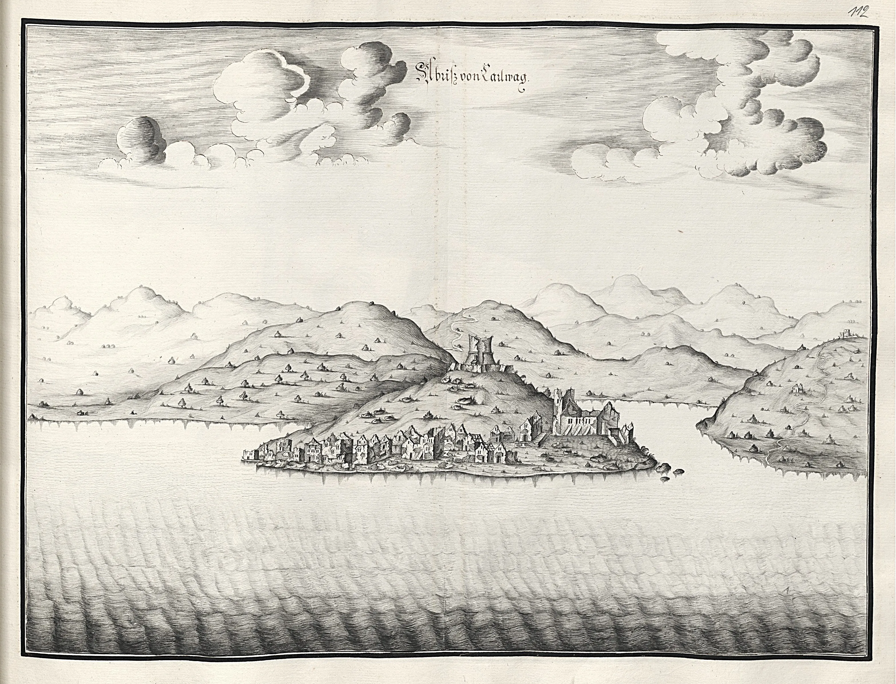
Over the centuries, it evolved from the medieval town of Bag to a symbol of Habsburg power as Carlopago, though that path was anything but straightforward. Due to language barriers and the inaccuracies of early geographers, it remains a unique example of how history and geography occasionally got quite literally 'lost in translation'—where today, every misplaced line on an old map stands as a testament to the exceptional strategic importance of this jewel below Velebit.
Discover everything about Karlobag's history through our detailed chronology. Explore eras stretching from the ancient Roman period (Vegium) and the medieval town of Bag, through the prominent era of Habsburg Carlopago, all the way to the town's role in the modern Republic of Croatia.